
image
Primary Survey Station
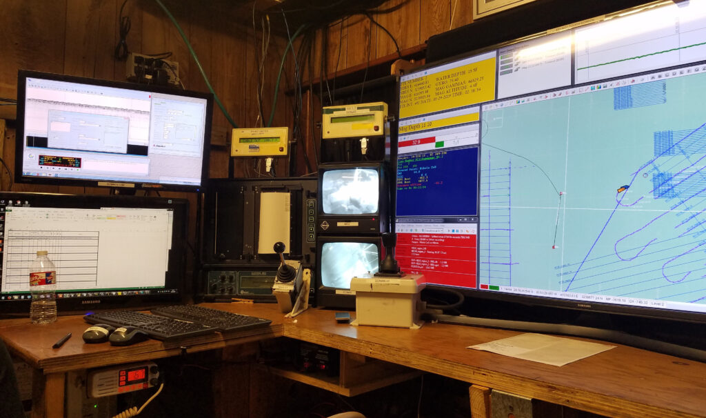
The primary survey station includes multiple computers logging various data sets; the vessel’s navigation track is visible at right.
Official websites use .gov
A
.gov website belongs to an official government
organization in the United States.
Secure .gov websites use HTTPS
A
lock (
) or https:// means you’ve safely connected to
the .gov website. Share sensitive information only on official,
secure websites.
The primary survey station includes multiple computers logging various data sets; the vessel’s navigation track is visible at right.