
image
Planned Operations Map
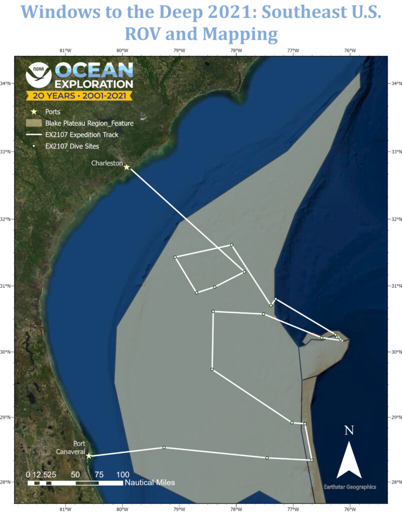
This map shows the Blake Plateau region overlaid with the expedition track (white line) and tentative remotely operated vehicle dive sites (dots) for the Windows to the Deep 2021: Southeast U.S. ROV and Mapping expedition.