Paleolandscapes and the ca. 8,000 BP Shoreline of the Gulf of Mexico Outer Continental Shelf 2020
Past Expedition
Overview
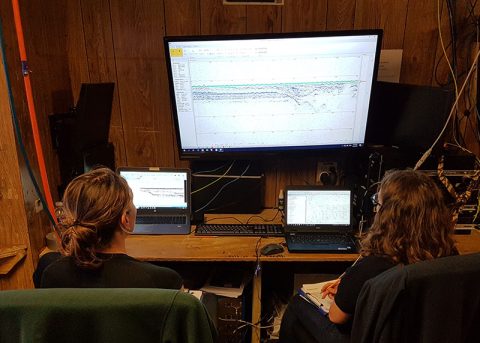
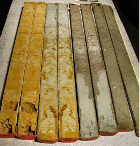
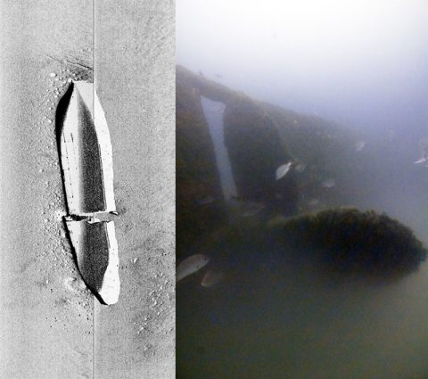
In 2019, our project team spent two weeks offshore in the Gulf of Mexico collecting data to help us answer questions about areas of the continental shelf that were once exposed as dry land. Throughout time, global sea level has risen and fallen, alternately covering and exposing the land. Today, the Gulf of Mexico is largely known for its shrimping, fishing, and extensive offshore oil and gas development, but evidence of the earliest Gulf coast inhabitants could be preserved, buried under sediment and sea. But on a continental shelf where approximately 40 million acres could have been dry land in the last 12,000 years, where do you start looking?
Features
View Less
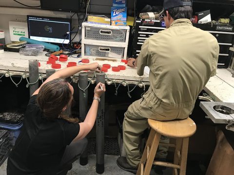
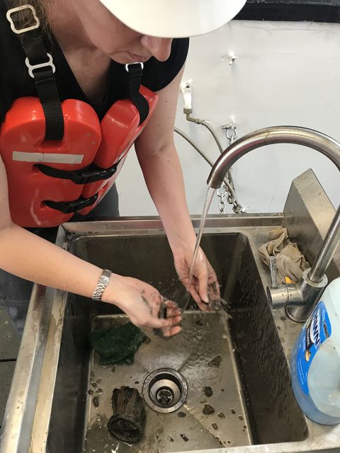
Multimedia
Featured multimedia assets associated with this project.
Meet the Exploration Team
Learn more about the team members and their contributions to this project.