

Windows to the Deep 2021: Southeast U.S. ROV and Mapping
Past Expedition
Expedition Summary
From October 26 to November 15, NOAA Ocean Exploration and partners conducted a telepresence-enabled ocean exploration expedition on NOAA Ship Okeanos Explorer. The Windows to the Deep 2021: Southeast ROV and Mapping expedition collected critical information about unexplored and poorly understood deepwater areas of the Blake Plateau region of the North Atlantic Ocean. This foundational information will encourage further exploration and research and inform resource management decisions and activities in the region.
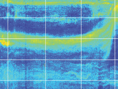
During Windows to the Deep 2021, at-sea and shore-based science teams worked together to explore and map the seafloor and the water column. Our 24-hour operations included ROV dives during the day and mapping operations at night. We used the state-of-the-art deepwater mapping systems on Okeanos Explorer, our dual-bodied ROV system that can dive to depths of 6,000 meters (3.7 miles), and a high-bandwidth satellite connection for real-time ship-to-shore communications.
Features
View Less
Multimedia
Featured multimedia assets associated with this project.
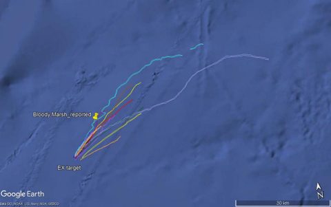
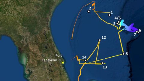
Dive Summary Map
The map below shows the location of dives during the expedition. Click on a dive number to access the update from that day.
Education
Our Learn & Discover page provides the best of what the NOAA Ocean Exploration website has to offer to support educators in the classroom during this expedition. Each theme page includes expedition features, lessons, multimedia, career information, and associated past expeditions. Below are related top education themes for this expedition.
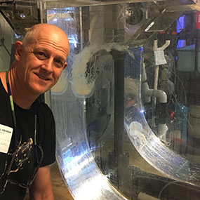
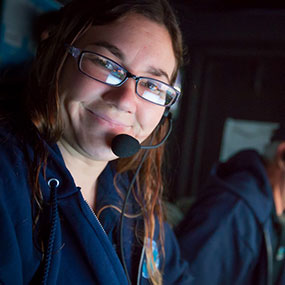
Meet the Exploration Team
Learn more about the team members and their contributions to this project.


Expedition Data
Data collected during the expedition will be available in NOAA’s public data archives within 60-90 days of its completion and will be accessible via the NOAA Ocean Exploration Data Atlas.
Resources & Contacts
-
NOAA Ocean Exploration
Emily Crum
Communications Specialist
Email Address: emily.crum@noaa.gov -
NOAA Office of Marine and Aviation Operations
David Hall
Public Affairs Officer
Email Address: david.l.hall@noaa.gov