

Windows to the Deep 2019: Exploration of the Deep-sea Habitats of the Southeast United States
Past Expedition
Overview
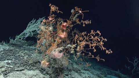
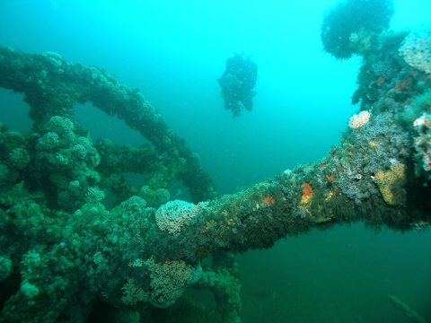
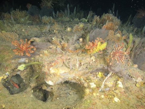
From May 30 through July 12, 2019, NOAA and partners conducted a two-part, telepresence-enabled ocean exploration expedition on NOAA Ship Okeanos Explorer to collect critical baseline information about unknown and poorly understood deepwater areas of the southeastern United States.
Features
View Less
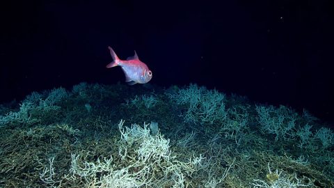

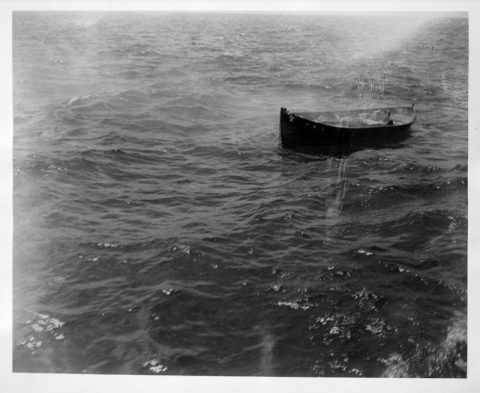
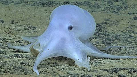
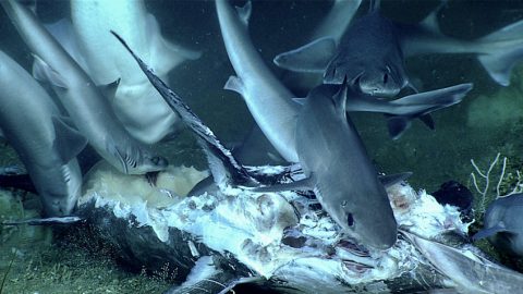
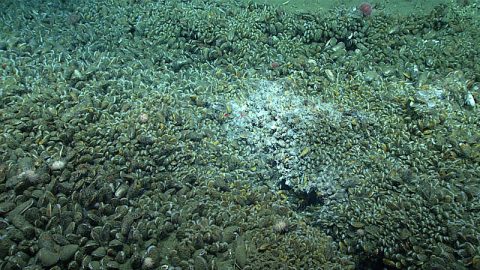
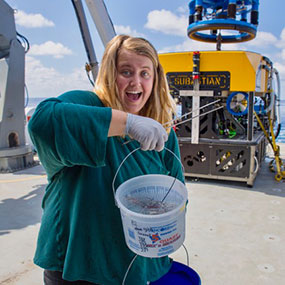
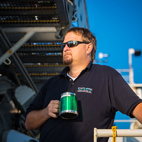
Multimedia
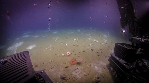
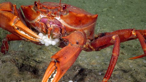
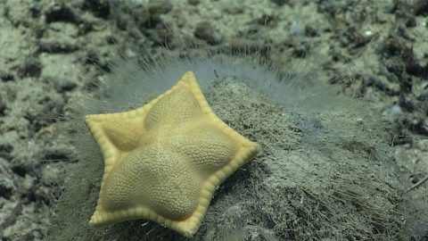
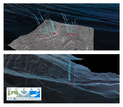
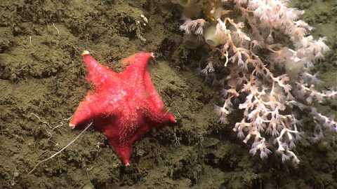
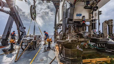
Featured multimedia assets associated with this project.
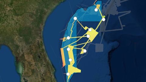
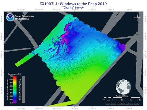
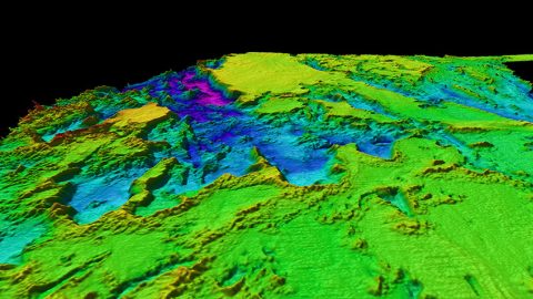
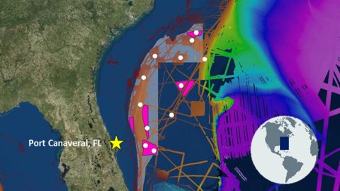
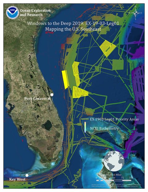
Dive Summary Map
The map below shows the location of dives during the expedition. Click on a dive number to access the update from that day.
Education
Our Learn & Discover page provides the best of what the NOAA Ocean Exploration website has to offer to support educators in the classroom during this expedition. Each theme page includes expedition features, lessons, multimedia, career information, and associated past expeditions. Below are related top education themes for this expedition.
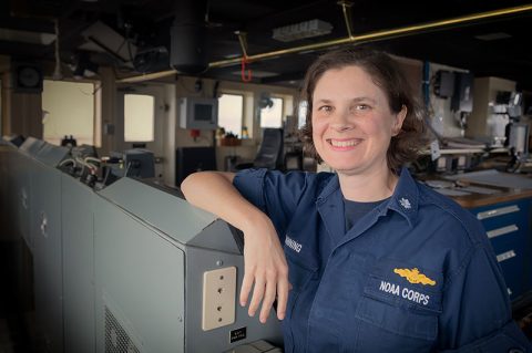
Meet the Exploration Team
Learn more about the team members and their contributions to this project.

Leg 2
Leg 2

Global Foundation for Ocean Exploration
Leg 2

Leg 1

Leg 1
Global Foundation for Ocean Exploration
Legs 1 and 2
Resources & Contacts
-
NOAA Office of Ocean Exploration and Research
Emily Crum
Email Address: emily.crum@noaa.gov -
NOAA Office of National Marine Sanctuaries
Vernon Smith
National Media Coordinator
Office: (301) 713 – 3125 x248
Email Address: vernon.smith@noaa.gov -
NOAA National Marine Fisheries Service
John Ewald
Director of Public Affairs
Office: (301) 427 – 8029
Email Address: john.ewald@noaa.gov -
NOAA Office of Marine and Aviation Operations
David Hall
Public Affairs Officer
Office: (301) 713 – 7671
Email Address: david.l.hall@noaa.gov