

2021 North Atlantic Stepping Stones: New England and Corner Rise Seamounts
Past Expedition
Overview
From June 30 through July 29, 2021, NOAA Ocean Exploration and partners conducted the 2021 North Atlantic Stepping Stones: New England and Corner Rise Seamounts expedition, a telepresence-enabled ocean exploration expedition on NOAA Ship Okeanos Explorer to collect critical baseline information about unknown and poorly understood deepwater areas off the eastern U.S. coast and high seas.
Features
View Less
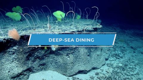
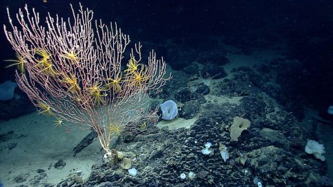
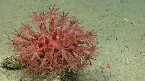
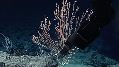
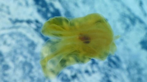
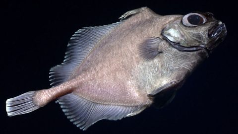
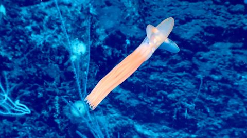
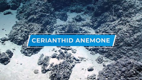
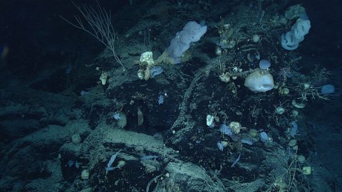
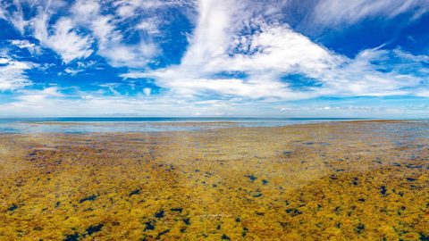
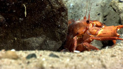
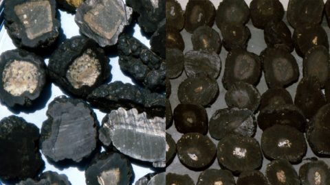
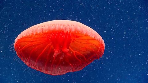
Multimedia
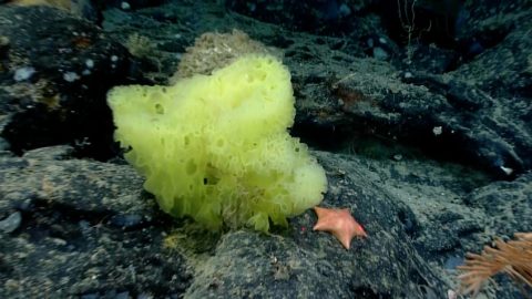
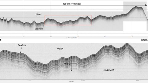
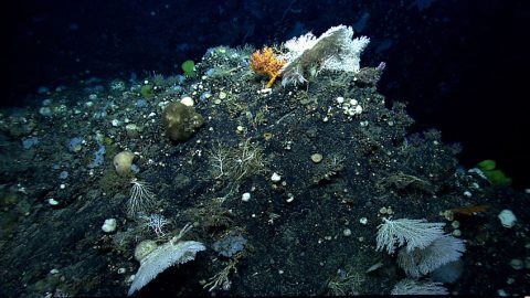
Featured multimedia assets associated with this project.
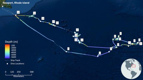
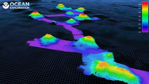
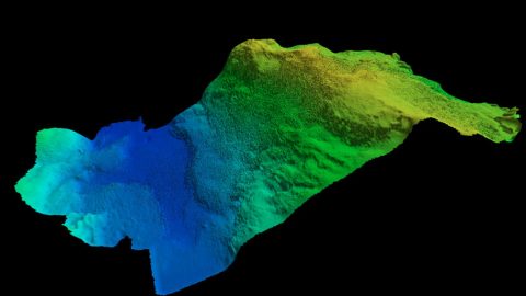
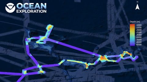
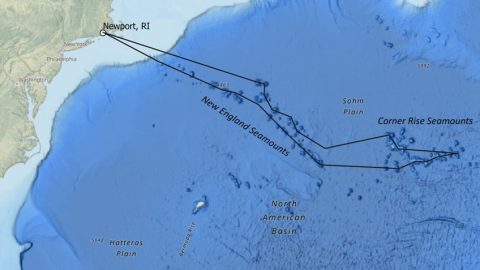
Dive Summary Map
The map below shows the location of dives during the expedition. Click on a dive number to access the update from that day.
Education
Our Learn & Discover page provides the best of what the NOAA Ocean Exploration website has to offer to support educators in the classroom during this expedition. Each theme page includes expedition features, lessons, multimedia, career information, and associated past expeditions. Below are related top education themes for this expedition.
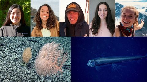
Meet the Exploration Team
Learn more about the team members and their contributions to this project.


Resources & Contacts
-
NOAA Ocean Exploration
Emily Crum
Communications Specialist
Email Address: emily.crum@noaa.gov -
NOAA Office of Marine and Aviation Operations
David Hall
Public Affairs Officer
Email Address: david.l.hall@noaa.gov