Beyond the Blue: Johnston Atoll Mapping (EX2405, EX2406)

Past Expedition

Primary Goal

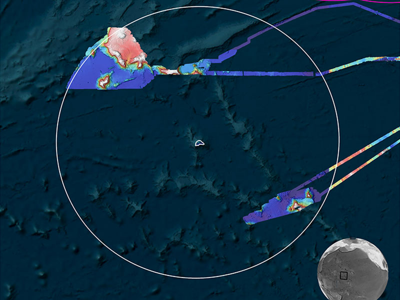
Increase mapping coverage in unexplored areas near Johnston Atoll within the Pacific Remote Islands Marine National Monument, with a focus on waters deeper than 200 meters (656 feet)

Dates
August 19 - September 7, 2024
September 14 - October 10, 2024
Location
Pacific Ocean
Vessel
NOAA Ship Okeanos Explorer
Primary Technology
Multibeam sonar

Expedition Summary

In August, September, and October, NOAA Ocean Exploration conducted two expeditions on NOAA Ship Okeanos Explorer to map waters deeper than 200 meters (656 feet) in and around the Johnston Atoll Unit of the Pacific Islands Heritage Marine National Monument, mapping a total of 43,840 square kilometers (16,927 square miles) of Johnston Atoll – covering 10% of the Johnston unit of the monument.
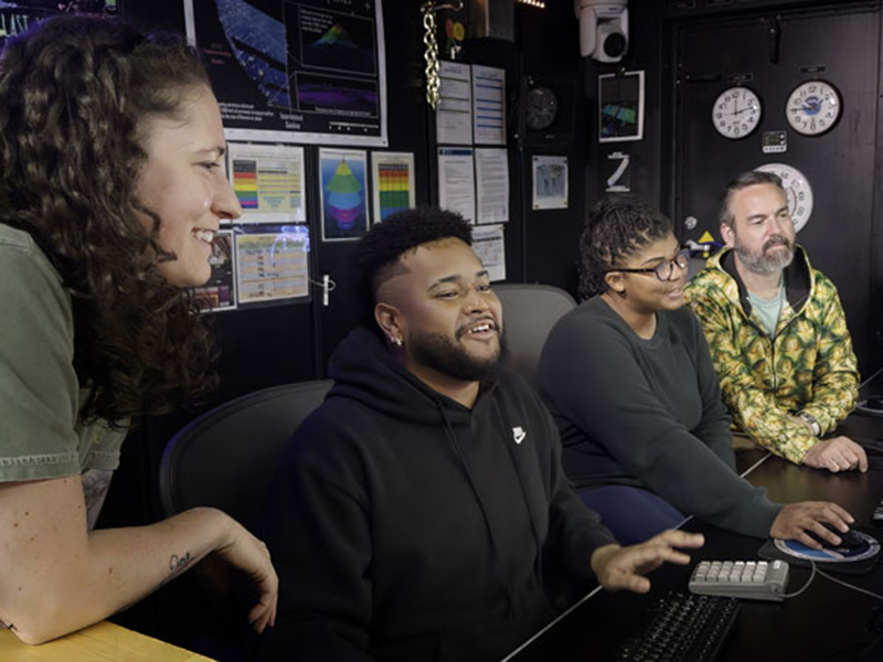
Four people in a control room working at computers, smiling and collaborating.
During the Beyond the Blue: Johnston Atoll Mapping 2 expedition, NOAA Ocean Exploration hosted three Explorer-in-Training interns who learned about ocean mapping data acquisition and processing. Here, Explorers-in-Training Nathanael Mathis and Gina Knox (middle) work in the mission control room with Mapping Technician Danielle Warren (left), and Chief Survey Technician Charlie Wilkins (right). Image courtesy of Art Howard, Global Foundation for Ocean Exploration.
Download largest version (jpg, 1.28 MB).

Features
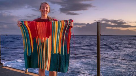
Twenty-six days at sea; more than 49,000 square kilometers (18,919 square miles) of seafloor mapped; 5,579 linear nautical miles (6,420 linear miles) traversed… and 13,580 linked double crochet stitches stitched.
November 7, 2024
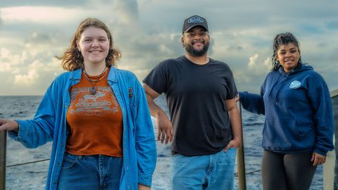
As part of its mission to train the next generation of ocean explorers, NOAA Ocean Exploration hosts students each year through the Explorer-in-Training Program.
October 22, 2024

Multimedia

Featured multimedia assets associated with this project.

Meet the Exploration Team

Learn more about the team members and their contributions to this project.

Expedition Coordinator, NOAA Ocean Exploration
Beyond the Blue: Johnston Atoll Mapping 1
Expedition Coordinator, NOAA Ocean Exploration
Beyond the Blue: Johnston Atoll Mapping 2
Technical Team Member, Global Foundation for Ocean Exploration
Beyond the Blue: Johnston Atoll Mapping 1 & 2
Mapping Watch Lead, NOAA Ocean Exploration
Beyond the Blue: Johnston Atoll Mapping 2

Video and Satellite Engineer, Global Foundation for Ocean Exploration
Beyond the Blue: Johnston Atoll Mapping 2
Mapping Watch Lead, University Corporation for Atmospheric Research
Beyond the Blue: Johnston Atoll Mapping 1

Resources & Contacts

Media Contacts