
Seascape Alaska 2: Aleutians Deepwater Mapping (EX2303)
Past Expedition
Expedition Summary
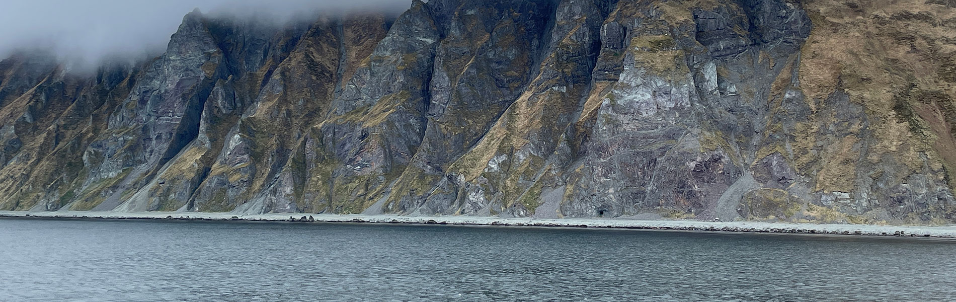
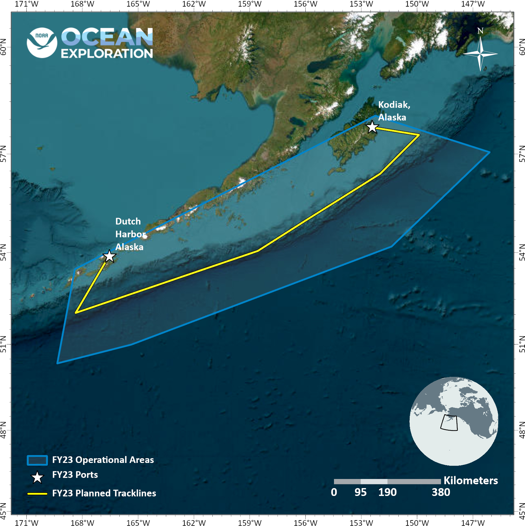
From June 5 – 20, 2023, NOAA Ocean Exploration conducted an expedition on NOAA Ship Okeanos Explorer to map 37,601 square kilometers (14,518 square miles) of seafloor in unexplored regions of the Gulf of Alaska and Aleutian Islands.
Throughout the expedition, mapping watchstanders collected, processed, and documented high-quality data during 24-hour-a-day mapping operations, aiding in closing bathymetric gaps within the region. In total, 37,601 square kilometers of bathymetry and associated water column data were collected in deep waters (deeper than 200 meters, or 656 feet) within the U.S. Exclusive Economic Zone and territorial sea.
During mapping operations, NOAA Ocean Exploration mission personnel simultaneously collected EM 304 multibeam sonar bathymetry observations and Simrad EK60/EK80 split-beam fisheries sonar observations of biological material in the water column, along with Knudsen 3260 sub-bottom profiler observations of sub-seafloor geological structure and sediment. A focused survey region targeted potential geological hazards along the Aleutian Trench. During the expedition, one CTD cast collected water samples for environmental DNA (eDNA) analysis. The exploratory mapping operations conducted during this expedition will provide initial characterization of the region, as well as data to support further exploration.
In line with NOAA Ocean Exploration’s commitment to outreach and support for the next generation of ocean explorers, during this expedition the office hosted three ship-board explorers-in-training and hosted a live interaction with the Indigenous Geoscientist Community Workshop in Ketchikan, Alaska.
Download largest version (jpg, 1.0 MB).
Multimedia
Featured multimedia assets associated with this project.
Education
Our Learn & Discover page provides the best of what the NOAA Ocean Exploration website has to offer to support educators in the classroom during this expedition. Each theme page includes expedition features, lessons, multimedia, career information, and associated past expeditions. Below are related top education themes for this expedition.
Meet the Exploration Team
Learn more about the team members and their contributions to this project.


Expedition Data
Data collected during the expedition will be available in NOAA’s public data archives within 60-90 days of its completion and will be accessible via the NOAA Ocean Exploration Data Atlas.
Resources & Contacts
-
Emily Crum
Communication Specialist
NOAA Ocean Exploration
ocean-explore-comms@noaa.gov -
Keeley Belva
Public Affairs Officer
NOAA Office of Marine and Aviation Operations
keeley.belva@noaa.gov