
Seascape Alaska 1: Aleutians Deepwater Mapping (EX2302)
Past Expedition
Expedition Summary
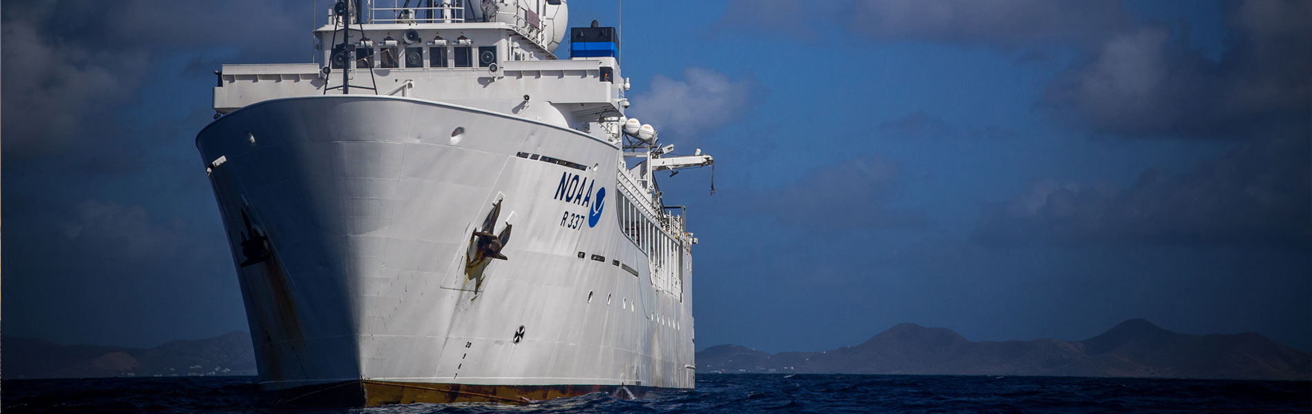
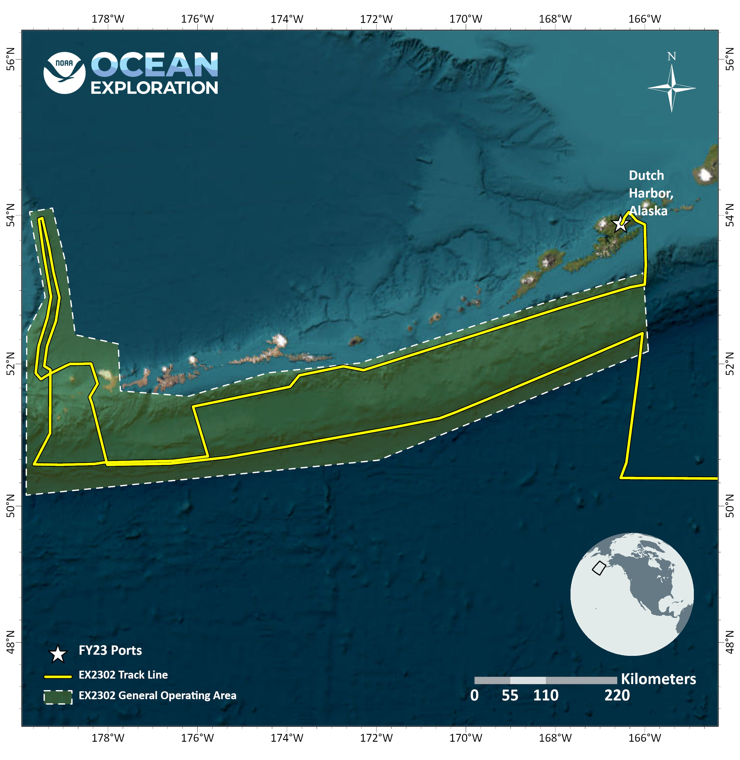
From May 5 – 26, 2023, NOAA Ocean Exploration conducted an expedition on NOAA Ship Okeanos Explorer to map nearly 54,000 square kilometers (20,850 square miles) of seafloor in unexplored regions of the Gulf of Alaska and Aleutian Islands.
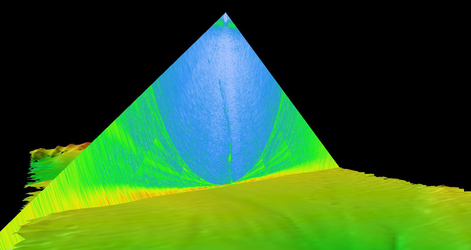
Throughout the expedition, mapping watchstanders collected, processed, and documented high-quality data during 24-hour-a-day mapping operations. In total, we mapped across a distance of 6,368 linear kilometers (3,957 linear miles) and collected bathymetric and water column data across 53,923 square kilometers (20,820 square miles) of seafloor. Notable findings include the locations of at least three previously unknown gas seeps and the summit of a submarine stratovolcano. Additionally, we were able to collect high-resolution data on the Amchixtam Chaxsxii underwater volcano that was last mapped in 2003, the margins of Bogoslof Island, and the summit of an underwater seamount that was nearly double the height than what was previously recorded in nautical charts.
Features

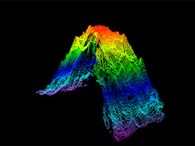
Multimedia
Featured multimedia assets associated with this project.
Education
Our Learn & Discover page provides the best of what the NOAA Ocean Exploration website has to offer to support educators in the classroom during this expedition. Each theme page includes expedition features, lessons, multimedia, career information, and associated past expeditions. Below are related top education themes for this expedition.
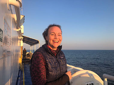
Meet the Exploration Team
Learn more about the team members and their contributions to this project.


Expedition Data
Data collected during the expedition will be available in NOAA’s public data archives within 60-90 days of its completion and will be accessible via the NOAA Ocean Exploration Data Atlas.
Resources & Contacts
-
Emily Crum
Communication Specialist
NOAA Ocean Exploration
ocean-explore-comms@noaa.gov -
Keeley Belva
Public Affairs Officer
NOAA Office of Marine and Aviation Operations
keeley.belva@noaa.gov