
Seascape Alaska 4: Gulf of Alaska Deepwater Mapping (EX2305)
Past Expedition
Expedition Summary
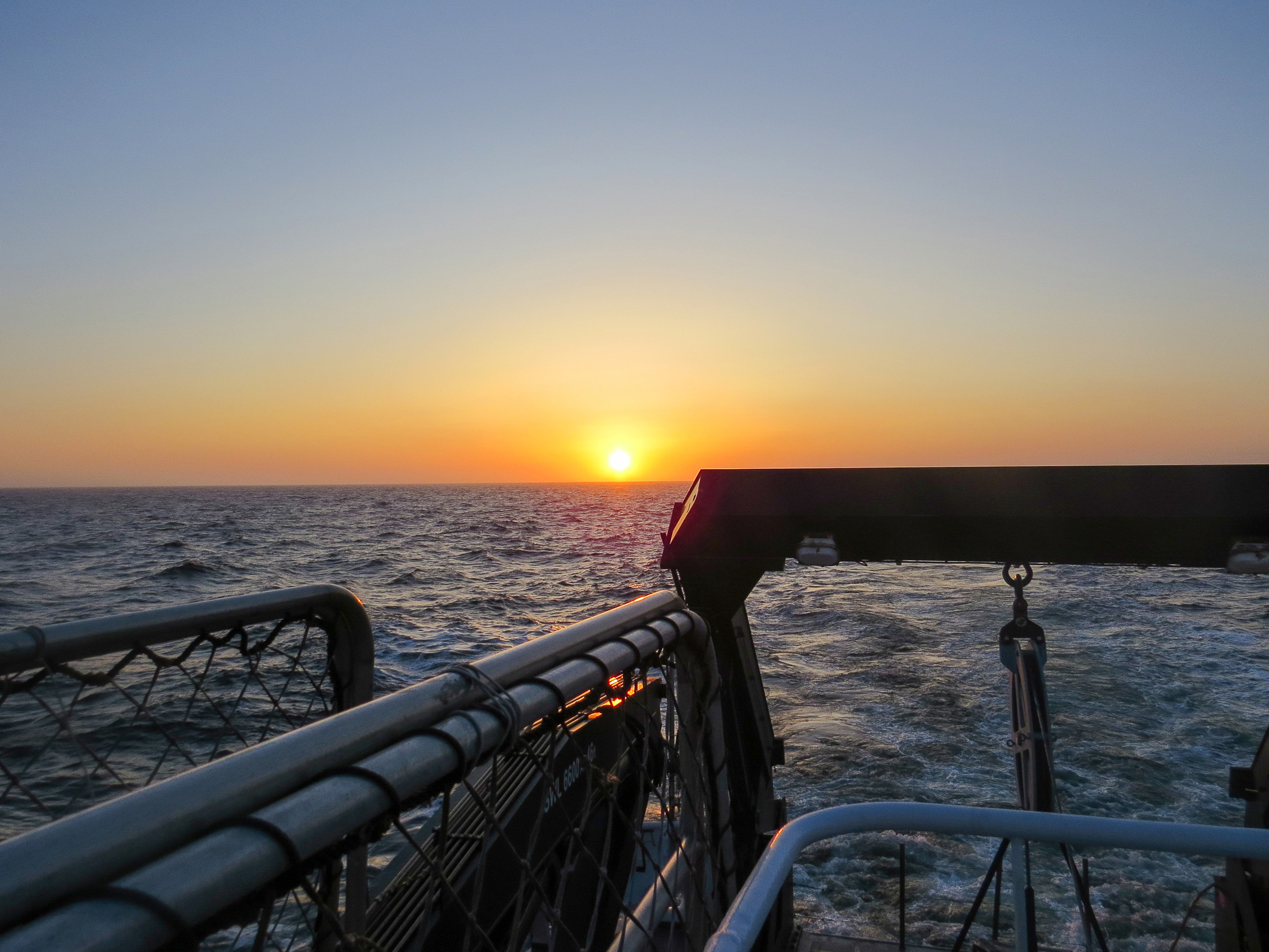
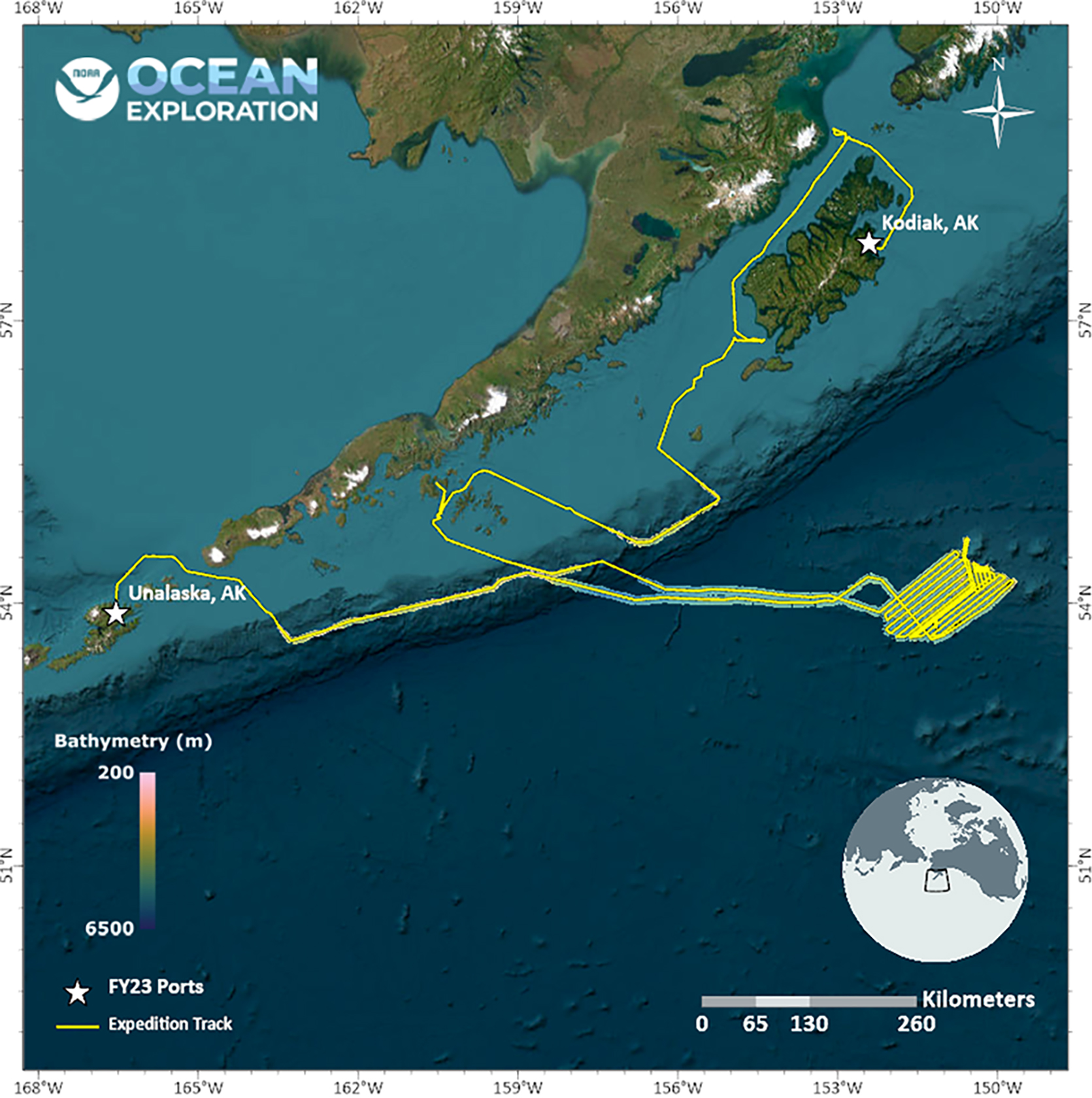
While conducting the 17-day Seascape Alaska 4: Gulf of Alaska Deepwater Mapping expedition on NOAA Ship Okeanos Explorer, NOAA Ocean Exploration and partners mapped more than 24,000 square kilometers (9,265 square miles) of seafloor in the Gulf of Alaska, increasing mapping coverage in a largely unexplored region of our nation’s Exclusive Economic Zone.
During mapping operations, NOAA Ocean Exploration collected multibeam sonar bathymetry data, made observations of biological material in the water column using the ship’s split-beam fisheries sonar, and made observations of sub-seafloor geological structure and sediment using a sub-bottom profiler. A focused survey targeted a region between Hecht Seamount and the Patton Seamount Chain in the Gulf of Alaska. The expedition team also completed a calibration of the ship’s split-beam transducers. The exploratory mapping operations conducted during this expedition will provide initial characterization of the region, as well as data to support further exploration and priority NOAA science and management needs.
As part of NOAA Ocean Exploration’s commitment to cultivating the next generation of ocean explorers and engaging the public in exploration activities, while the ship was in port in Kodiak, the expedition team provided tours of the vessel for three student participants in Camp Qungaayux and hosted three explorers-in-training while underway.
Download largest version (jpg, 960 KB).
Features
Multimedia
Featured multimedia assets associated with this project.
Education
Our Learn & Discover page provides the best of what the NOAA Ocean Exploration website has to offer to support educators in the classroom during this expedition. Each theme page includes expedition features, lessons, multimedia, career information, and associated past expeditions. Below are related top education themes for this expedition.
Meet the Exploration Team
Learn more about the team members and their contributions to this project.


Expedition Data
Data collected during the expedition will be available in NOAA’s public data archives within 60-90 days of its completion and will be accessible via the NOAA Ocean Exploration Data Atlas.
Resources & Contacts
-
Emily Crum
Communication Specialist
NOAA Ocean Exploration
ocean-explore-comms@noaa.gov -
Keeley Belva
Public Affairs Officer
NOAA Office of Marine and Aviation Operations
keeley.belva@noaa.gov