
Seascape Alaska 6: Gulf of Alaska Transit Mapping (EX2307)
Past Expedition
Expedition Summary
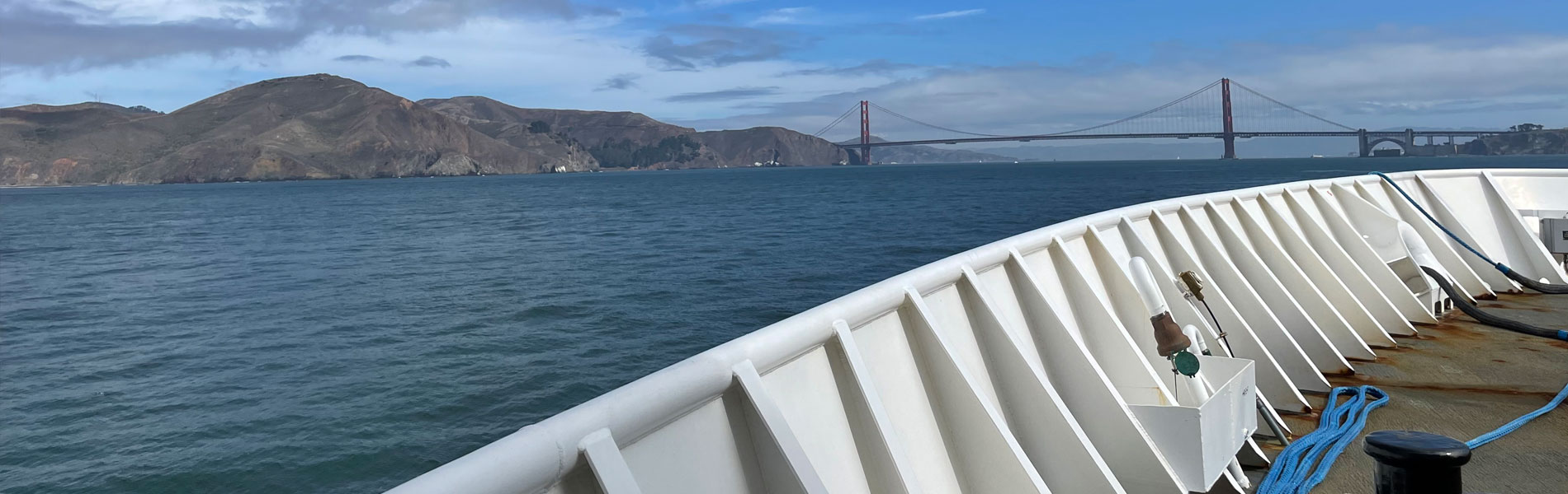
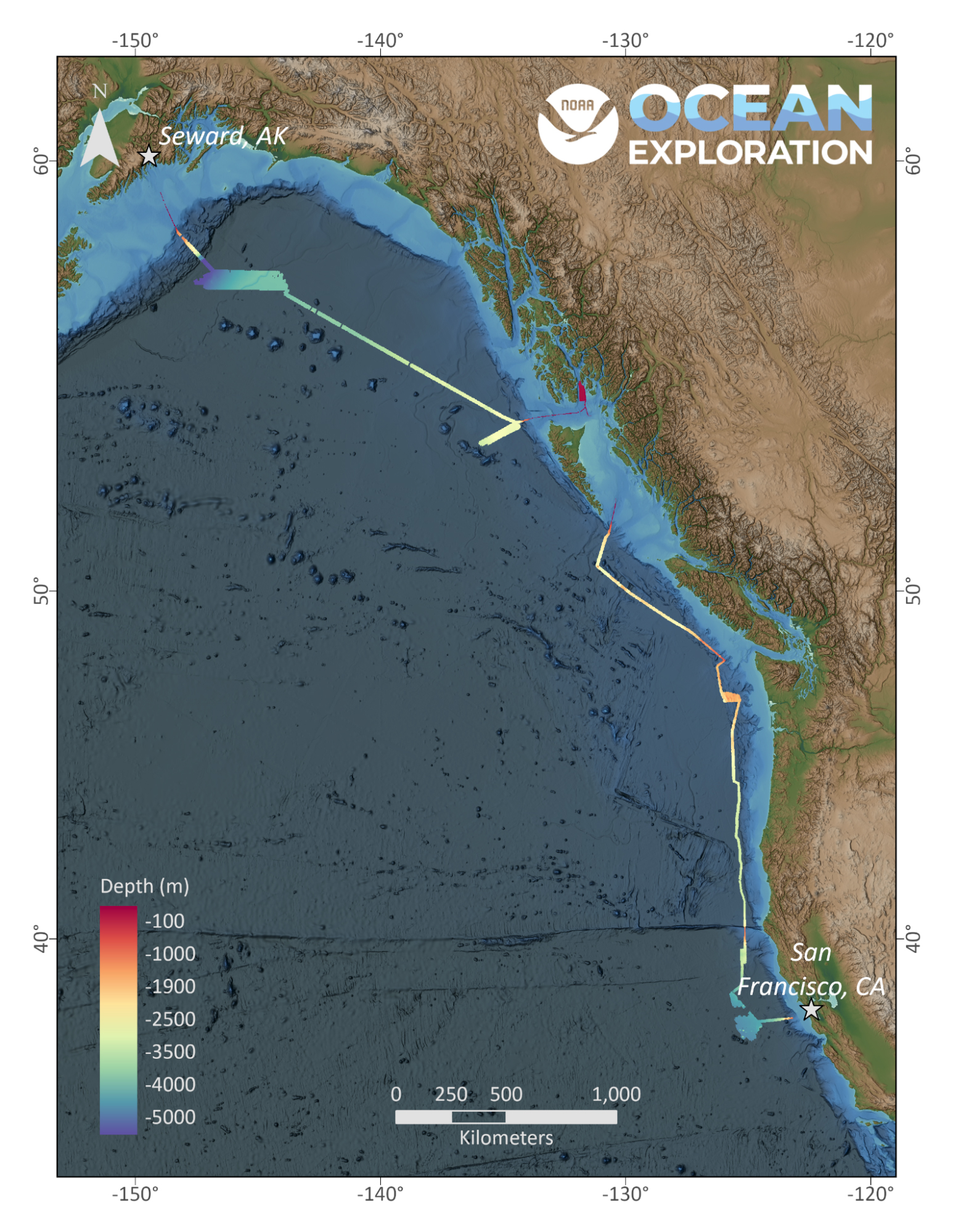
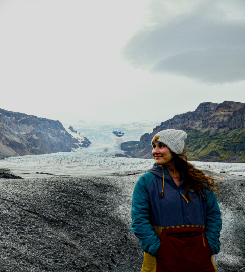
From September 23 to October 14, NOAA Ocean Exploration conducted the final expedition in the Seascape Alaska series on NOAA Ship Okeanos Explorer,
mapping nearly 48,000 square kilometers (18,530 square miles) of seafloor along the West Coast while
transiting from Alaska to California.
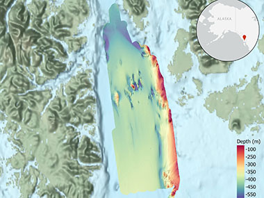
During mapping operations, NOAA Ocean Exploration collected multibeam
sonar bathymetry, made observations of biologic
material in the water column using a split-beam fisheries sonar, and
made sub-bottom profiler observations of
sub-seafloor geologic structure and sediment.
The team mapped a total of 47,899 square kilometers (18,494 square miles) of seafloor, covering a distance of 3,216
kilometers (1,998 miles). Highlights included mapping a portion of the Surveyor Channel in the Gulf of Alaska,
discovering a chain of six mounds off the coast of British Columbia that were not visible in existing satellite
altimetry data, completing a focused survey in the Cascadia Margin off the coast of Washington that improved data
quality in a region of interest for geological hazards, and mapping five mounds off the coast of California that
were
previously only resolved through low-resolution satellite altimetry.
In the spirit and mission of outreach and education, the team hosted three explorers-in-training during the expedition
and held a live interaction through the NOAA Live!
Alaska webinar series that reached nearly 700 people, more than 600
of whom were students.
Download largest version (jpg, 1.6 MB).
Features
Education
Our Learn & Discover page provides the best of what the NOAA Ocean Exploration website has to offer to support educators in the classroom during this expedition. Each theme page includes expedition features, lessons, multimedia, career information, and associated past expeditions. Below are related top education themes for this expedition.
Meet the Exploration Team
Learn more about the team members and their contributions to this project.


Expedition Data
Data collected during the expedition will be available in NOAA’s public data archives within 60-90 days of its completion and will be accessible via the NOAA Ocean Exploration Data Atlas.
Resources & Contacts
-
Emily Crum
Communication Specialist
NOAA Ocean Exploration
ocean-explore-comms@noaa.gov -
Keeley Belva
Public Affairs Officer
NOAA Office of Marine and Aviation Operations
keeley.belva@noaa.gov