
Beyond the Blue: Hawaiʻi Mapping (EX2402)
Past Expedition
Expedition Summary
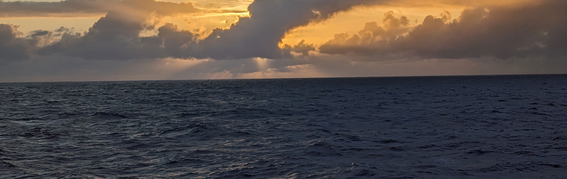
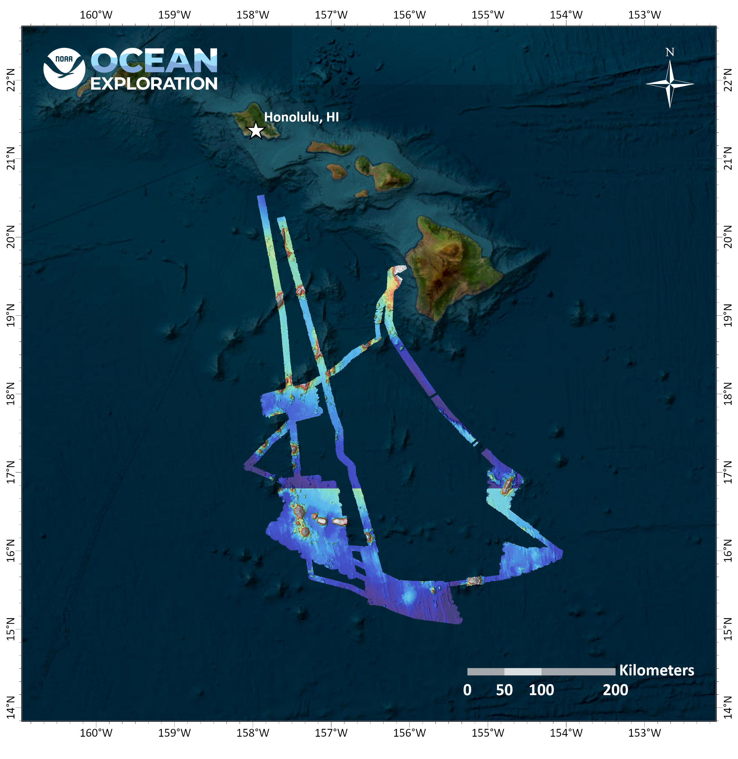
From May 14 – June 9, 2024, NOAA Ocean Exploration conducted Beyond the Blue: Hawaiʻi Mapping, a mapping expedition on NOAA Ship Okeanos Explorer in Hawaiian waters. Mapping operations during this 27-day expedition aided in closing bathymetry gaps to the south of the island of Hawaiʻi and resulted in the collection of approximately 41,435 square kilometers (16,000 square miles) of seafloor bathymetry in waters deeper than 200 meters (656 feet), including nearly 34,200 square kilometers (13,200 square miles) within the U.S Exclusive Economic Zone (EEZ).
During mapping operations, NOAA Ocean Exploration simultaneously collected EM 304 multibeam sonar bathymetry observations and Simrad EK60/EK80 split-beam fisheries sonar observations of biologic material in the water column, as well as Knudsen 3260 sub-bottom profiler observations of sub-seafloor geologic structures and sediment. Focused multibeam backscatter surveys near the U.S. EEZ line targeted areas of interest for the U.S. Geological Survey. Several unnamed and unmapped seafloor features, including two seamounts and one guyot, were mapped by the team during the expedition, providing initial characterization of these sites that will support further evaluation and exploration. The team also conducted mapping over Newell Seamount, completing the mapping of this previously only partially mapped seamount. A full-profile conductivity, temperature, and depth (CTD) test was conducted to over 3,000 meters (1.86 miles) depth to validate the operability of all CTD systems for the remainder of 2024.
Download largest version (jpg, 523 KB).
Multimedia
Featured multimedia assets associated with this project.
Education
Our Learn & Discover page provides the best of what the NOAA Ocean Exploration website has to offer to support educators in the classroom during this expedition. Each theme page includes expedition features, lessons, multimedia, career information, and associated past expeditions. Below are related top education themes for this expedition.
Meet the Exploration Team
Learn more about the team members and their contributions to this project.


Resources & Contacts
-
Emily Crum
Communication Specialist
NOAA Ocean Exploration
ocean-explore-comms@noaa.gov -
Keeley Belva
Public Affairs Officer
NOAA Office of Marine and Aviation Operations
keeley.belva@noaa.gov