An official website of the United States government
Here’s how you know
Official websites use .gov A
.gov website belongs to an official government
organization in the United States.
Secure .gov websites use HTTPS A
lock (
) or https:// means you’ve safely connected to
the .gov website. Share sensitive information only on official,
secure websites.
Beyond the Blue: Papahānaumokuākea Mapping (EX2403, EX2404, EX2501)
Past Expedition
Primary Goal
Increase mapping coverage in unexplored areas of Papahānaumokuākea Marine National Monument, with a focus on waters deeper than 200 meters (656 feet)
Dates
June 21 - July 9, 2024
July 18 - August 12, 2024
October 19 - November 12, 2024
Location
Pacific Ocean
Vessel
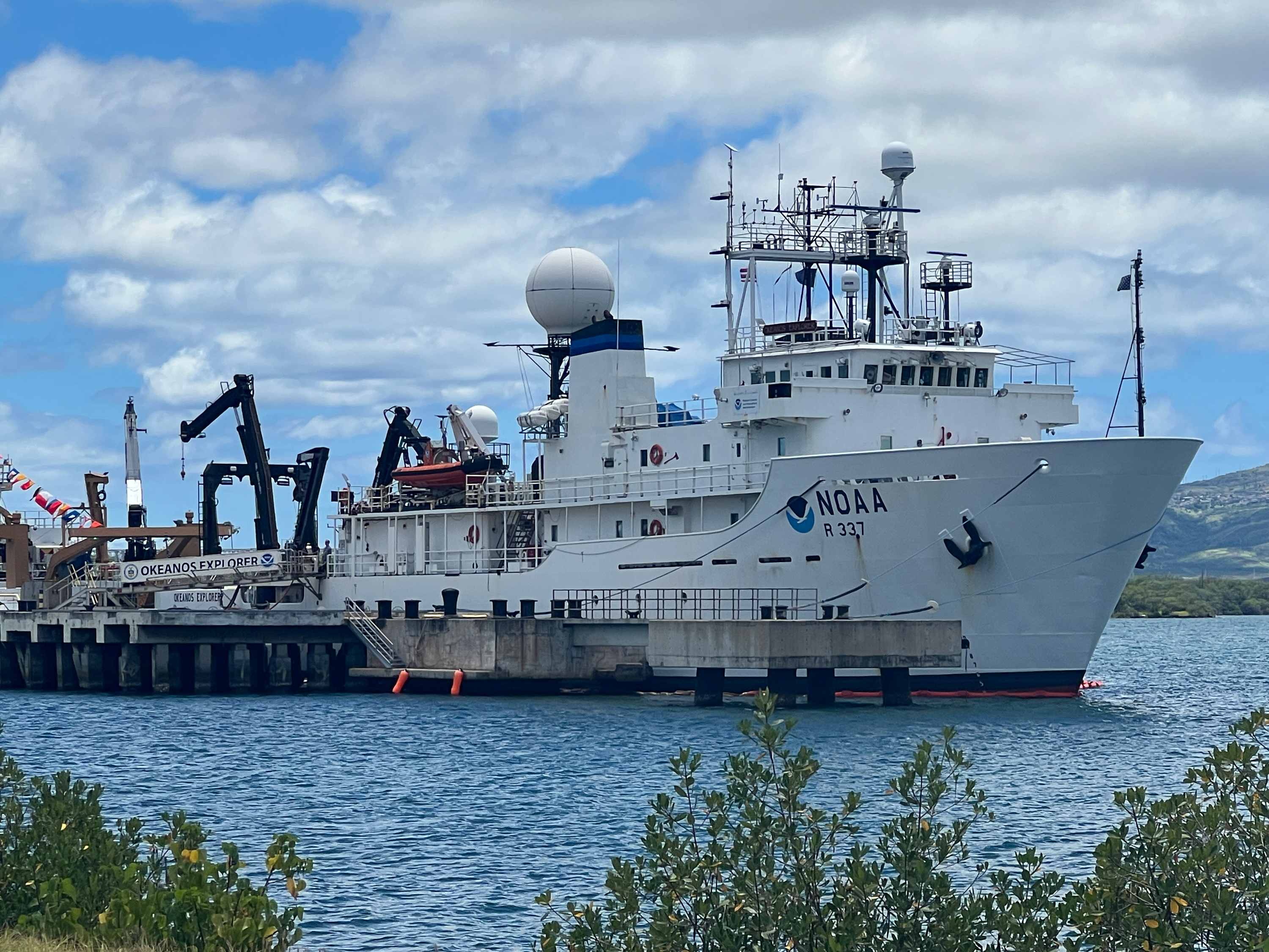
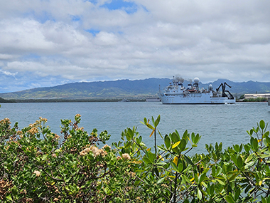
NOAA Ship Okeanos Explorer
Primary Technology
Multibeam sonar
Expedition Summary
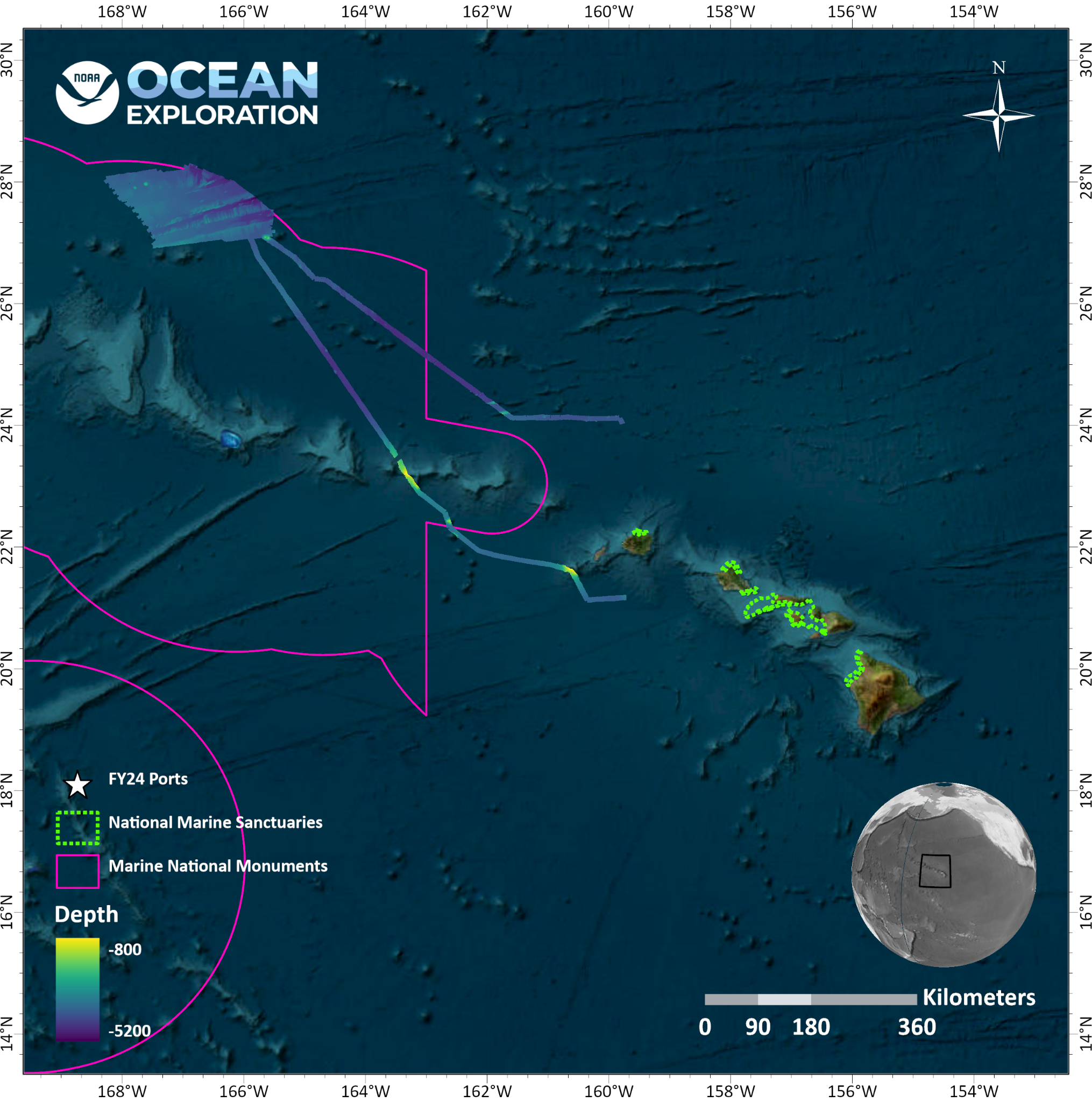
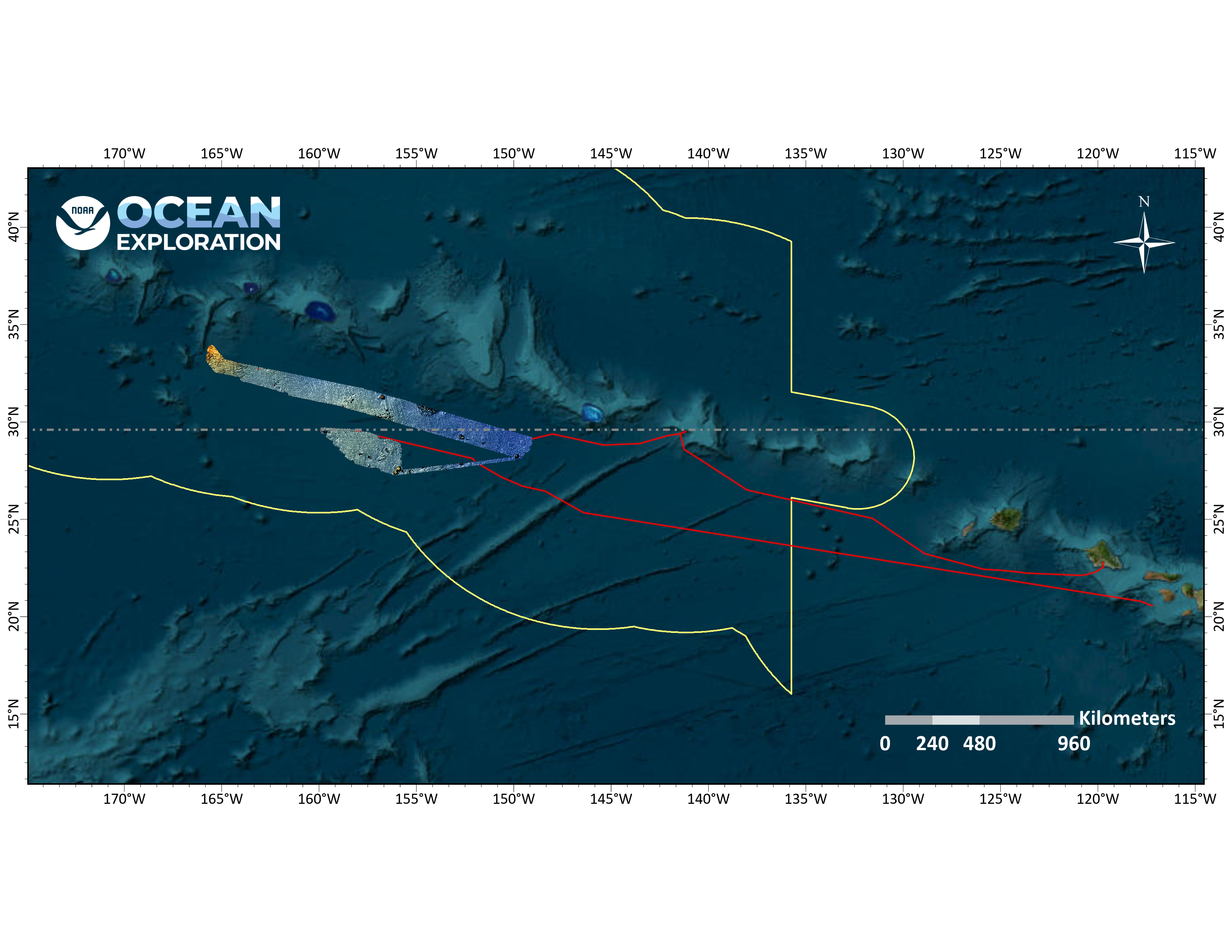
In June, July, and August, NOAA Ocean Exploration conducted two exploratory ocean mapping expeditions on NOAA Ship Okeanos Explorer focused on waters generally deeper than 200 meters (656 feet) in and around Papahānaumokuākea Marine National Monument. The ship then returned to Papahānaumokuākea in October and November for a third mapping expedition. All together, 136,685 square kilometers (52,774 square miles) of the Papahānaumokuākea Marine National Monument were mapped during the three expeditions, increasing the monument’s modern mapping coverage by approximately 9%.
Summaries for each individual expedition are provided below.
Cultural liaisons Malia and Makoa and expedition coordinator Thomas answer questions from students at Mokupāpapa Discovery Center during a live interaction hosted during the Beyond the Blue: Papahānaumokuākea Mapping 1 expedition. Image courtesy of NOAA Ocean Exploration. Download largest version (jpg, 3.08 MB).
Papahānaumokuākea Mapping 1 was the first expedition within the monument in 2024. Over the course of the 19-day expedition, which took place June 21-July 9, 2024, 42,272 square kilometers (14,183 square nautical miles) of seafloor in waters deeper than 200 meters (656 feet) were mapped, including nearly 41,086 square kilometers (25,529 square nautical miles) within the U.S. Exclusive Economic Zone (EEZ).
Highlights from the expedition include:
Conducting focused multibeam bathymetry and backscatter surveys along the Murray Fracture Zone, revealing new insight into the 100-million-year-old history of the now-extinct Pacific-Farallon Spreading Center.
Mapping a previously unnamed and unmapped seamount that rises 1,300 meters (4,265 feet) off the seafloor and has a caldera, or volcanic crater, that spans 2.4 kilometers (1.5 miles).
Hosting Hawaiian community liaisonsMalia Evans and Makoa Pascoe to highlight the local knowledge and practices that were an important part of the history of the monument. This effort was developed in partnership with NOAA’s Office of National Marine Sanctuaries.
Conducting live ship-to-shore interactions with the Hui Mālama i ke Ala ʻŪlili Keiki Papa community summer mentorship program and the Punahou School on Oʻahu.
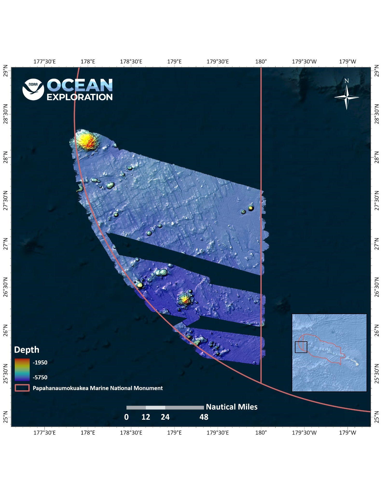
New bathymetric coverage within Papahānaumokuākea Marine National Monument, collected during the Beyond the Blue: Papahānaumokuākea 1 Mapping expedition. Image courtesy of NOAA Ocean Exploration, Beyond the Blue 2024. Download largest version (png, 2.02 MB).
Beyond the Blue: Papahānaumokuākea Mapping 2 (EX2404)
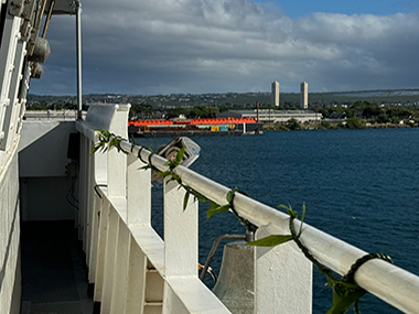
During in-port periods before and after the Beyond the Blue: Papahānaumokuākea Mapping expeditions, NOAA Ship Okeanos Explorer docked at the NOAA Daniel K. Inouye Regional Center on Oahu’s Ford Island. Image courtesy of NOAA Ocean Exploration, 2024 Beyond the Blue. Download largest version (jpg, 3.92 MB).
July 18-August 12, NOAA Ocean Exploration conducted the Papahānaumokuākea Mapping 2 expedition within deep waters of Papahānaumokuākea. More than 77,100 square kilometers (29,768 square miles) of seafloor was mapped during the expedition, including over 76,000 square kilometers (29,344 square miles) within the U.S. EEZ.
Highlights from the expedition include:
Mapping previously unmapped seamounts, including one rising more than 3,000 meters (9,842 feet) above the surrounding seafloor.
Hosting Hawaiian community liaison, Kalā Hind Boyd, to highlight the local knowledge and practices that were an important part of the history of the monument. This effort was developed in partnership with NOAA’s Office of National Marine Sanctuaries.
Conducting live ship-to-shore interactions with school groups and community organizations to communicate the goals of the expedition and the importance of ocean exploration.
Training three Explorer-in-Training interns in ocean mapping data acquisition and processing.
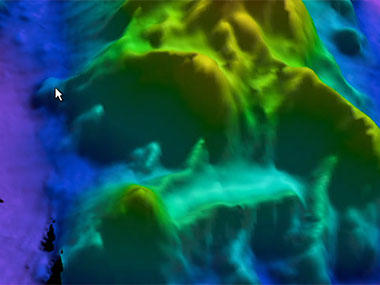
Map showing bathymetric data collected within Papahānaumokuākea Marine National Monument during the Beyond the Blue: Papahānaumokuākea 2 Mapping expedition. Image courtesy of NOAA Ocean Exploration, Beyond the Blue 2024. Download largest version (jpg, 757 KB).
Beyond the Blue: Papahānaumokuākea Mapping 3 (EX2501)
Various lei made by the team on NOAA Ship Okeanos Explorer during the Beyond the Blue: Papahānaumokuākea Mapping 3 expedition. Image courtesy of Astrid Zapata-De Jesus. Download largest version (png, 2.19 MB).
To wrap up 2024 operations, NOAA Ocean Exploration spent 25 days at sea on NOAA Ship Okeanos Explorer on the Papahānaumokuākea Mapping 3 expedition. From October 19-November 12, the team collected 43,029 square kilometers (12,545 square nautical miles) of bathymetric data in waters deeper than 200 meters (656 feet), all within the U.S. EEZ.
Highlights from the expedition include:
Mapping focused survey areas southeast of Maro Reef in the monument expansion zone.
Conducting 12 live ship-to-shore interactions with school groups and community organizations.
Hosting Hawaiian community liaisons, Pīkake Kuniyoshi and Kalauʻihilani Robins, to highlight the local knowledge and practices that were an important part of the history of the monument. This effort was developed in partnership with NOAA’s Office of National Marine Sanctuaries
Training three Explorer-in-Training interns in ocean mapping data acquisition and processing, two of whom also contributed to public communication efforts.
Map showing bathymetric data collected during the Papahānaumokuākea Mapping 3 expedition on NOAA Ship Okeanos Explorer. Image courtesy of NOAA Ocean Exploration, 2024 Beyond the Blue. Download largest version (png, 2.94 KB).
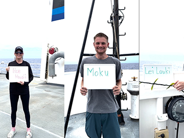
Throughout the Beyond the Blue: Papahānaumokuākea Mapping 1 expedition, join Native Hawaiian cultural liaisons Malia Kapuaonālani Evans and Makoa Pascoe each day as they introduce a new Hawaiian word connected to ocean exploration.
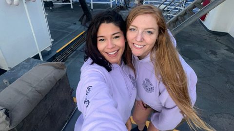
Hello everyone! We are Sarah and Astrid, Explorers-in-Training on NOAA Ship Okeanos Explorer! Follow along on our journey as we spend the next few weeks mapping the unknown seafloor in Papahānaumokuākea Marine National Monument.
Throughout the Beyond the Blue: Papahānaumokuākea Mapping 1 expedition, join Native Hawaiian cultural liaisons Malia Kapuaonālani Evans and Makoa Pascoe each day as they introduce a new Hawaiian word connected to ocean exploration.
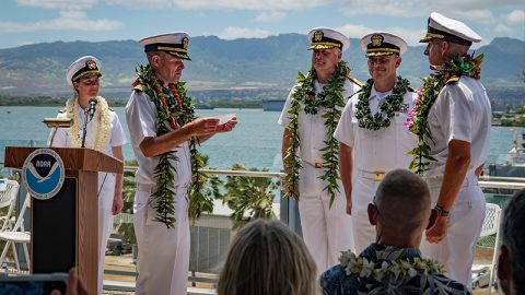
Please join NOAA Ocean Exploration in thanking and bidding farewell to outgoing Commanding Officer, NOAA Ship Okeanos Explorer Captain Colin Little, and welcoming the ship’s new Commanding Officer, Commander Tony Perry III!
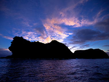
Papahānaumokuākea Marine National Monument, the site for exploration during the Beyond the Blue: Papahānaumokuākea Mapping 1 expedition, is the largest contiguous fully protected conservation area under the U.S. flag and one of the largest marine conservation areas in the world.
Throughout the Beyond the Blue: Papahānaumokuākea Mapping 1 expedition, join Native Hawaiian cultural liaisons Malia Kapuaonālani Evans and Makoa Pascoe each day as they introduce a new Hawaiian word connected to ocean exploration.
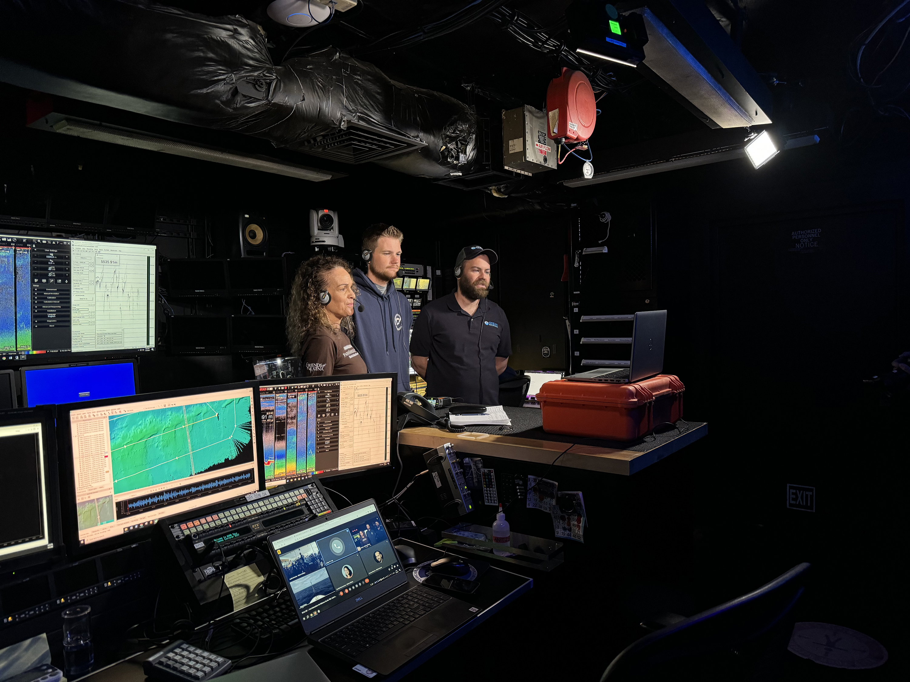
Mapping watchstanders act as sentries and data keepers while collecting, processing, and documenting high-quality ocean and seafloor data captured by sonar and oceanographic instruments.
Lia Kim is the 2024 science communication Explorer-in-Training for the Beyond the Blue: Papahānaumokuākea Mapping 1 expedition. Join her throughout her adventure!