
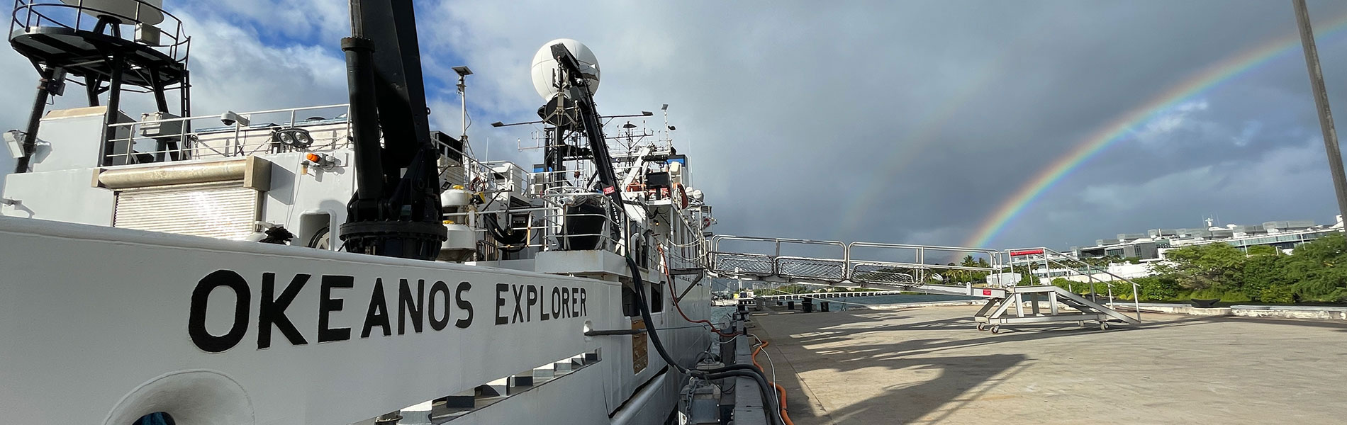
Beyond the Blue: Johnston Atoll Mapping (EX2405, EX2406)
Past Expedition
Expedition Summary
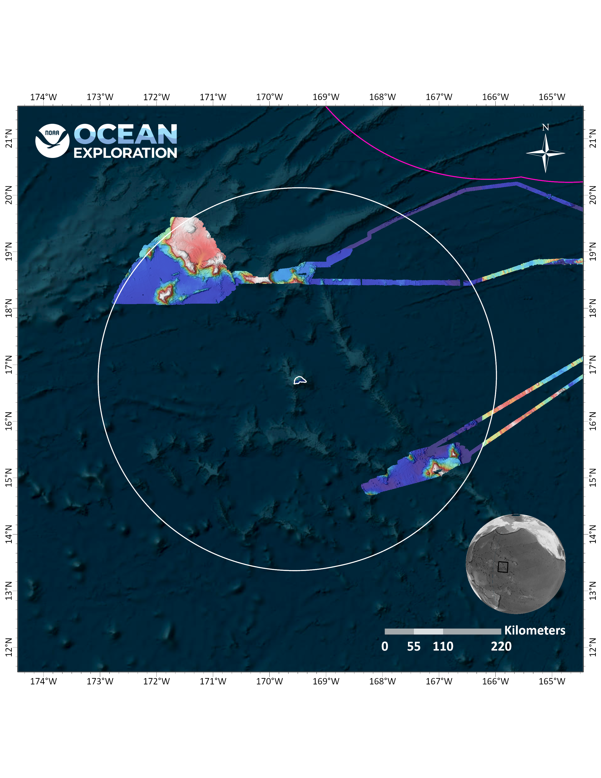
In August, September, and October, NOAA Ocean Exploration conducted two expeditions on NOAA Ship Okeanos Explorer to map waters deeper than 200 meters (656 feet) in and around the Johnston Atoll Unit of the Pacific Islands Heritage Marine National Monument, mapping a total of 43,840 square kilometers (16,927 square miles) of Johnston Atoll – covering 10% of the Johnston unit of the monument.
Download largest version (jpg, 1.28 MB).
Features
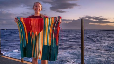
Twenty-six days at sea; more than 49,000 square kilometers (18,919 square miles) of seafloor mapped; 5,579 linear nautical miles (6,420 linear miles) traversed… and 13,580 linked double crochet stitches stitched.
November 7, 2024
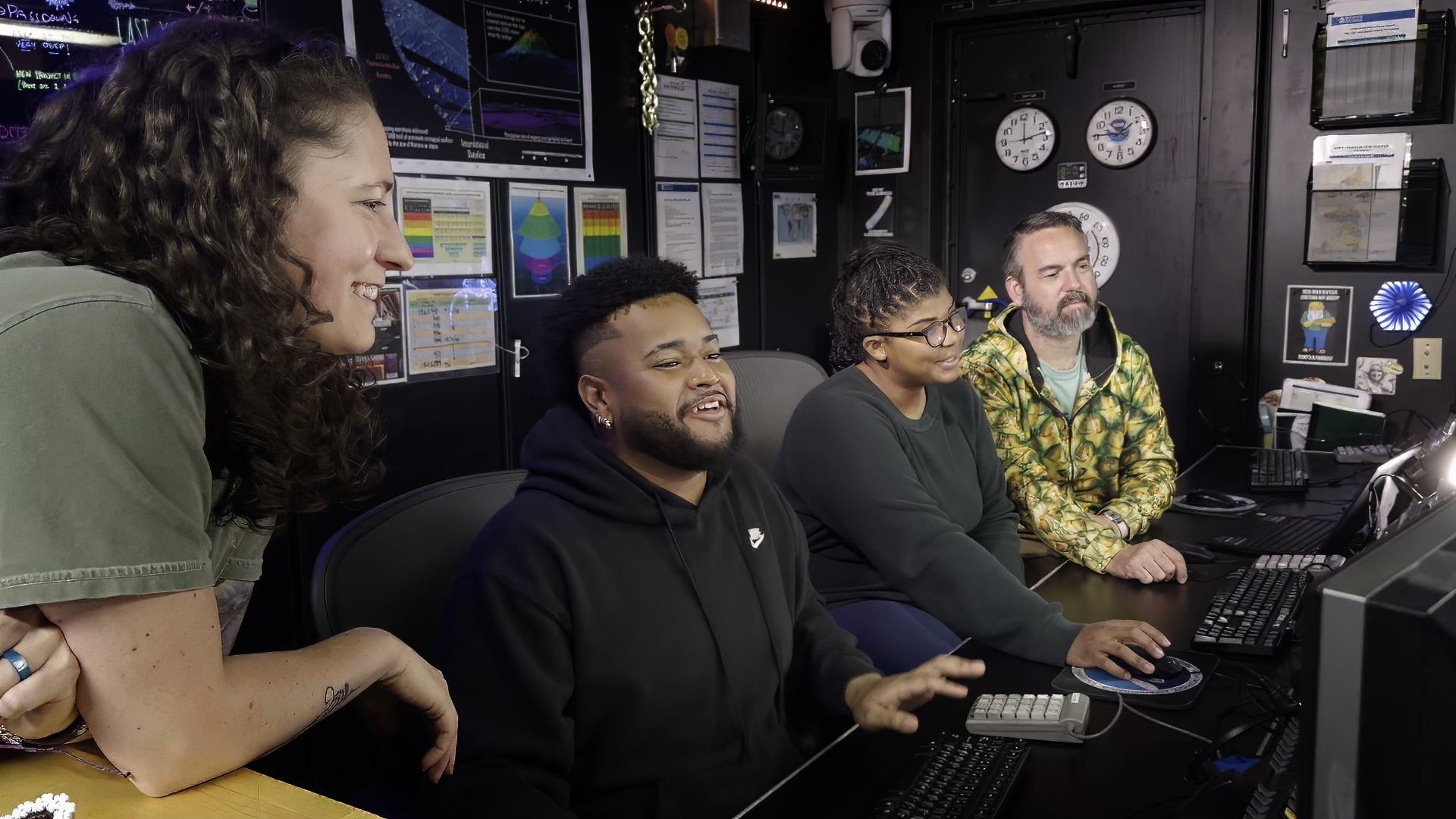
As part of its mission to train the next generation of ocean explorers, NOAA Ocean Exploration hosts students each year through the Explorer-in-Training Program.
October 22, 2024
Multimedia
Featured multimedia assets associated with this project.
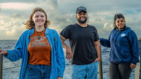
Meet the Exploration Team
Learn more about the team members and their contributions to this project.

Expedition Coordinator, NOAA Ocean Exploration
Beyond the Blue: Johnston Atoll Mapping 1
Beyond the Blue: Johnston Atoll Mapping 1

Expedition Coordinator, NOAA Ocean Exploration
Beyond the Blue: Johnston Atoll Mapping 2
Beyond the Blue: Johnston Atoll Mapping 2

Technical Team Member, Global Foundation for Ocean Exploration
Beyond the Blue: Johnston Atoll Mapping 1 & 2
Beyond the Blue: Johnston Atoll Mapping 1 & 2

Mapping Watch Lead, NOAA Ocean Exploration
Beyond the Blue: Johnston Atoll Mapping 2
Beyond the Blue: Johnston Atoll Mapping 2

Video and Satellite Engineer, Global Foundation for Ocean Exploration
Beyond the Blue: Johnston Atoll Mapping 2
Beyond the Blue: Johnston Atoll Mapping 2

Mapping Watch Lead, University Corporation for Atmospheric Research
Beyond the Blue: Johnston Atoll Mapping 1
Beyond the Blue: Johnston Atoll Mapping 1
Resources & Contacts
Media Contacts
-
Emily Crum
Communication Specialist
NOAA Ocean Exploration
ocean-explore-comms@noaa.gov -
Keeley Belva
Public Affairs Officer
NOAA Office of Marine and Aviation Operations
keeley.belva@noaa.gov