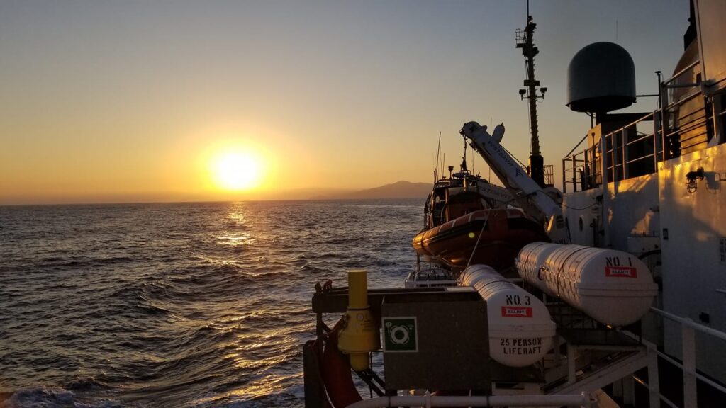
The Southern California Seafloor Mapping Initiative (SCSMI) - a regional effort to collect high-resolution mapping data applicable to numerous federal and state agencies – laid the foundation for EXPRESS. Multiple vessels will contribute to the emerging campaign.
