
image
Collecting New Elevation Data
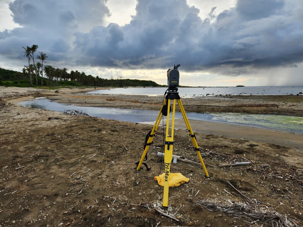
A Trimble SX10 scanning total station used to collect elevation data. Photo is looking eastward showing the new configuration of the river mouth and delta after Typhoon Mawar.