
image
Mapping Coastal Features With Lidar
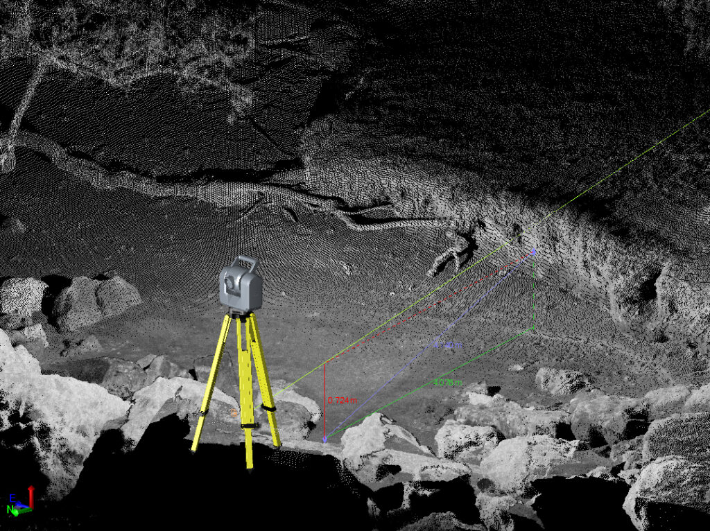
A scanning total station on boulders on the shoreline of Agat facing inland. Using very high-resolution lidar like this enables researchers to measure features and parameters of interest, including erosion of the bank at the shoreline.