
image
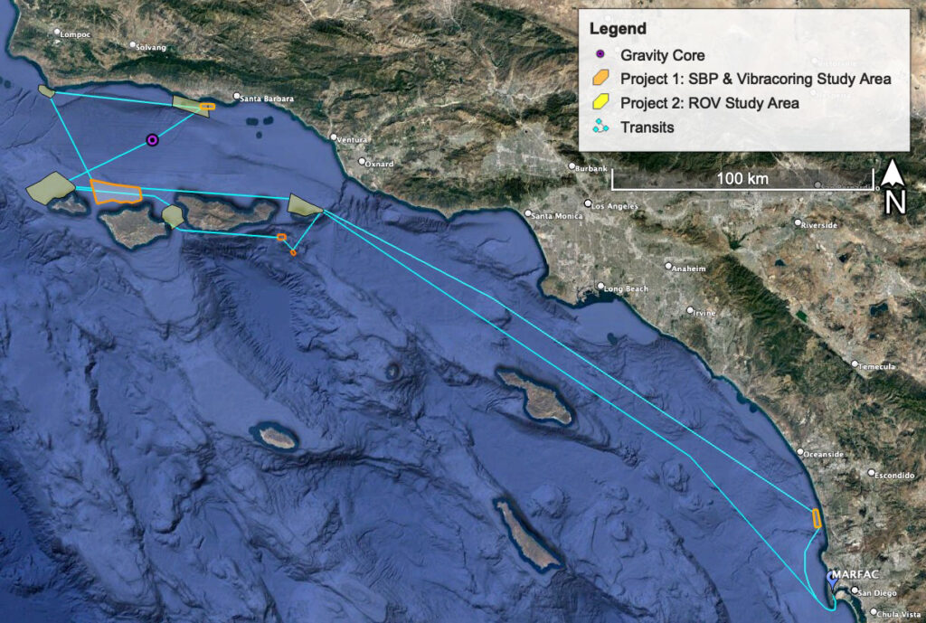
Overview Map
Map developed by Roslynn King.
Using chirp and controlled source electromagnetic data collected during geophysical surveys conducted as part of the expedition in October 2021 and March 2022, the research team has identified sites P2A-D for targeted remotely operated vehicle investigations in January 2023.