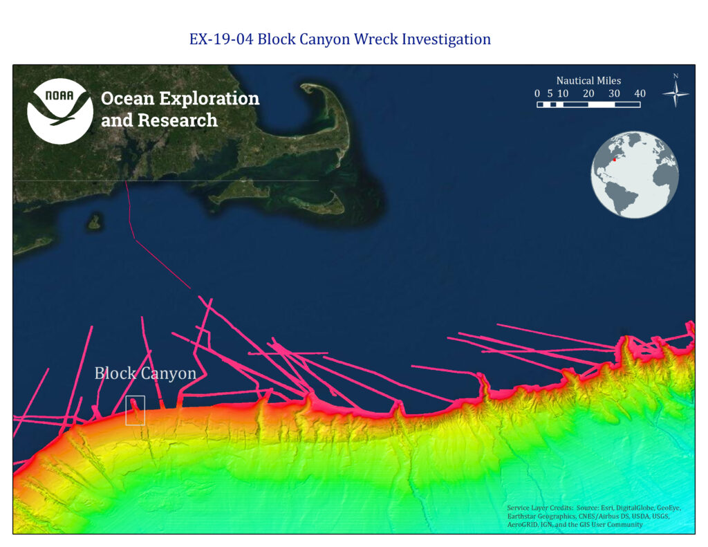
Map of area offshore Rhode Island and Cape Cod; Block Canyon indicated in grey box. Brightly colored bathymetry data are a compilation of Okeanos Explorer and Extended Continental Shelf Project data and reveals numerous submarine canyons.

Map of area offshore Rhode Island and Cape Cod; Block Canyon indicated in grey box. Brightly colored bathymetry data are a compilation of Okeanos Explorer and Extended Continental Shelf Project data and reveals numerous submarine canyons.